
Moorsel topographic map
Interactive map
Click on the map to display elevation.
About this map
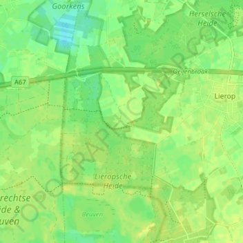
Name: Moorsel topographic map, elevation, terrain.
Average elevation: 23 m
Minimum elevation: 13 m
Maximum elevation: 29 m
Other topographic maps
Click on a map to view its topography, its elevation and its terrain.
Gebergte
Nederland > Noord-Brabant > Lierop
Gebergte, Lierop, Someren, Noord-Brabant, Nederland, 5715 PM, Nederland
Average elevation: 22 m
Heieind
Nederland > Noord-Brabant > Lierop > Heieind
Heieind, Lierop, Someren, Noord-Brabant, Nederland, 5715RA, Nederland
Average elevation: 23 m