
Bayfield topographic map
Interactive map
Click on the map to display elevation.
About this map
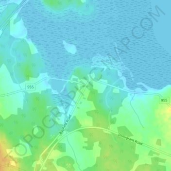
Name: Bayfield topographic map, elevation, terrain.
Average elevation: 7 m
Minimum elevation: -2 m
Maximum elevation: 28 m
Other topographic maps
Click on a map to view its topography, its elevation and its terrain.
Cap-Pele
Canada > Nouveau-Brunswick > Botsford Parish > Cap-Pele
Cap-Pele, Botsford Parish, Comté de Westmorland, Nouveau-Brunswick, Canada
Average elevation: 13 m