
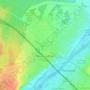
Maisons-Laffitte topographic map
Interactive map
Click on the map to display elevation.
About this map
Name: Maisons-Laffitte topographic map, elevation, terrain.
Average elevation: 39 m
Minimum elevation: 22 m
Maximum elevation: 67 m
Other topographic maps
Click on a map to view its topography, its elevation and its terrain.
Val des Quatre Pignons
France > Ile-de-France > Yvelines > Beynes > Val des Quatre Pignons
Average elevation: 92 m