
Dyrdal topographic map
Interactive map
Click on the map to display elevation.
About this map
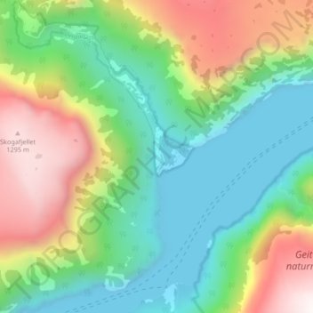
Name: Dyrdal topographic map, elevation, terrain.
Location: Dyrdal, Aurland, Vestland, Norway (60.93944 6.91221 60.97944 6.95221)
Average elevation: 475 m
Minimum elevation: -1 m
Maximum elevation: 1,361 m