
Cikasungka topographic map
Interactive map
Click on the map to display elevation.
About this map
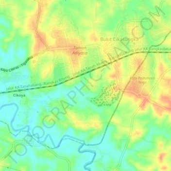
Name: Cikasungka topographic map, elevation, terrain.
Location: Cikasungka, Tangerang Regency, Banten, 15370, Indonesia (-6.35469 106.40703 -6.31469 106.44703)
Average elevation: 44 m
Minimum elevation: 24 m
Maximum elevation: 64 m