
Steinkjer topographic map
Interactive map
Click on the map to display elevation.
About this map
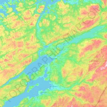
Name: Steinkjer topographic map, elevation, terrain.
Location: Steinkjer, Trøndelag, Norway (63.77124 10.45127 64.33029 12.37795)
Average elevation: 271 m
Minimum elevation: -4 m
Maximum elevation: 1,125 m