
Amo topographic map
Interactive map
Click on the map to display elevation.
About this map
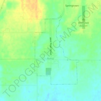
Name: Amo topographic map, elevation, terrain.
Location: Amo, Hendricks County, Indiana, 46103, United States (39.68115 -86.61975 39.69934 -86.60370)
Average elevation: 255 m
Minimum elevation: 243 m
Maximum elevation: 272 m