
Nuckles topographic map
Interactive map
Click on the map to display elevation.
About this map
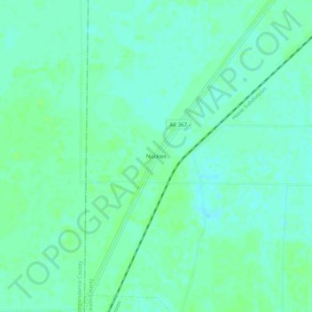
Name: Nuckles topographic map, elevation, terrain.
Location: Nuckles, Jackson County, Arkansas, United States of America (35.54786 -91.37735 35.58786 -91.33735)
Average elevation: 68 m
Minimum elevation: 63 m
Maximum elevation: 71 m