
Furong topographic map
Interactive map
Click on the map to display elevation.
About this map
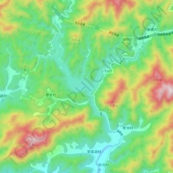
Name: Furong topographic map, elevation, terrain.
Location: Furong, Changshan County, Quzhou, Zhejiang, China (29.08109 118.60224 29.16109 118.68224)
Average elevation: 443 m
Minimum elevation: 152 m
Maximum elevation: 1,006 m