
Kenyir Reservoir topographic map
Interactive map
Click on the map to display elevation.
About this map
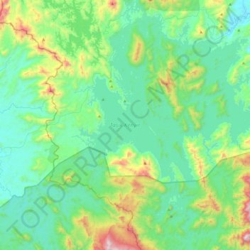
Name: Kenyir Reservoir topographic map, elevation, terrain.
Location: Kenyir Reservoir, Hulu Terennganu, Terengganu, 21700, Malaysia (4.78002 102.55570 5.21883 102.91165)
Average elevation: 295 m
Minimum elevation: 28 m
Maximum elevation: 1,293 m
Other topographic maps
Click on a map to view its topography, its elevation and its terrain.