
Alpine County topographic map
Interactive map
Click on the map to display elevation.
About this map
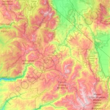
Name: Alpine County topographic map, elevation, terrain.
Location: Alpine County, California, United States of America (38.32693 -120.07258 38.93342 -119.54224)
Average elevation: 2,216 m
Minimum elevation: 1,155 m
Maximum elevation: 3,458 m
Other topographic maps
Click on a map to view its topography, its elevation and its terrain.