
Belait District topographic map
Interactive map
Click on the map to display elevation.
About this map
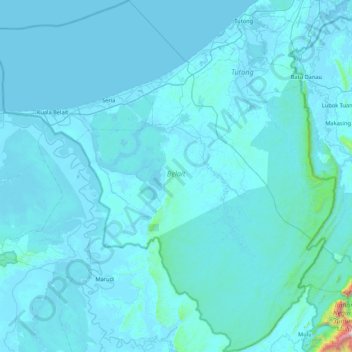
Name: Belait District topographic map, elevation, terrain.
Location: Belait District, Brunei Darussalam (4.00251 114.07587 4.75644 114.85806)
Average elevation: 50 m
Minimum elevation: -2 m
Maximum elevation: 1,749 m