
Tan Phu Trung Commune topographic map
Interactive map
Click on the map to display elevation.
About this map
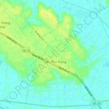
Name: Tan Phu Trung Commune topographic map, elevation, terrain.
Location: Tan Phu Trung Commune, Củ Chi District, Vietnam (10.91609 106.52095 10.97689 106.58573)
Average elevation: 6 m
Minimum elevation: -1 m
Maximum elevation: 16 m