
Kuala Berang topographic map
Interactive map
Click on the map to display elevation.
About this map
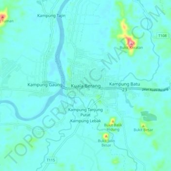
Name: Kuala Berang topographic map, elevation, terrain.
Location: Kuala Berang, Hulu Terennganu, Terengganu, 21700, Malaysia (5.03430 102.97720 5.11430 103.05720)
Average elevation: 18 m
Minimum elevation: 1 m
Maximum elevation: 161 m