
Binh Thuan province topographic map
Interactive map
Click on the map to display elevation.
About this map
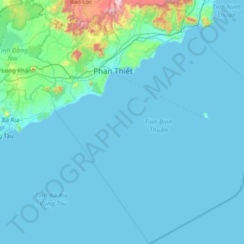
Name: Binh Thuan province topographic map, elevation, terrain.
Location: Binh Thuan province, Vietnam (9.37802 107.39420 11.55558 109.40193)
Average elevation: 73 m
Minimum elevation: -2 m
Maximum elevation: 1,804 m