
Tanjung Penyusuh topographic map
Interactive map
Click on the map to display elevation.
About this map
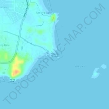
Name: Tanjung Penyusuh topographic map, elevation, terrain.
Location: Tanjung Penyusuh, Tanjung Sepang, Kota Tinggi, Johor, Malaysia (1.37009 104.28256 1.37019 104.28266)
Average elevation: 2 m
Minimum elevation: 0 m
Maximum elevation: 36 m