
Igloulik topographic map
Interactive map
Click on the map to display elevation.
About this map
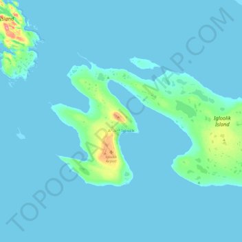
Name: Igloulik topographic map, elevation, terrain.
Location: Igloulik, Nunavut, X0A 0L0, Canada (69.33726 -81.94024 69.43363 -81.45948)
Average elevation: 5 m
Minimum elevation: 0 m
Maximum elevation: 78 m