
Milwaukee County topographic map
Interactive map
Click on the map to display elevation.
About this map
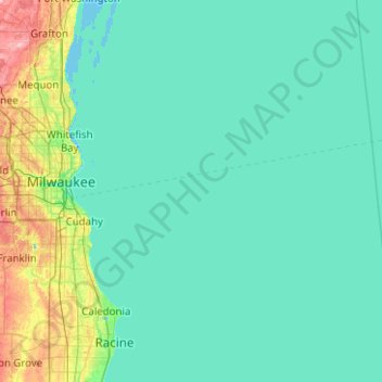
Name: Milwaukee County topographic map, elevation, terrain.
Location: Milwaukee County, Wisconsin, United States (42.84207 -88.06990 43.19258 -87.06942)
Average elevation: 186 m
Minimum elevation: 172 m
Maximum elevation: 299 m
Other topographic maps
Click on a map to view its topography, its elevation and its terrain.