
Monticelli topographic map
Interactive map
Click on the map to display elevation.
About this map
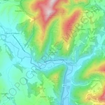
Name: Monticelli topographic map, elevation, terrain.
Location: Monticelli, Genga, Ancona, Marche, 60040, Italy (43.41118 12.90449 43.45118 12.94449)
Average elevation: 381 m
Minimum elevation: 228 m
Maximum elevation: 729 m