
Franklin County topographic map
Interactive map
Click on the map to display elevation.
About this map
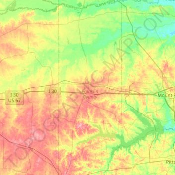
Name: Franklin County topographic map, elevation, terrain.
Location: Franklin County, Texas, United States of America (32.96189 -95.30900 33.38813 -95.12458)
Average elevation: 126 m
Minimum elevation: 82 m
Maximum elevation: 186 m
Other topographic maps
Click on a map to view its topography, its elevation and its terrain.