
Ban Phai Chorakhe topographic map
Interactive map
Click on the map to display elevation.
About this map
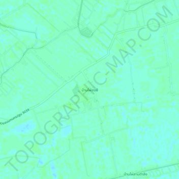
Name: Ban Phai Chorakhe topographic map, elevation, terrain.
Location: Ban Phai Chorakhe, Nakhon Pathom Province, 73130, Thailand (14.08036 100.18220 14.12036 100.22220)
Average elevation: 4 m
Minimum elevation: -1 m
Maximum elevation: 6 m