
Buies Creek topographic map
Interactive map
Click on the map to display elevation.
About this map
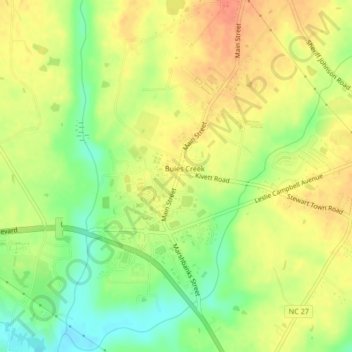
Name: Buies Creek topographic map, elevation, terrain.
Location: Buies Creek, Harnett County, North Carolina, 27506, USA (35.39554 -78.75412 35.42947 -78.71796)
Average elevation: 61 m
Minimum elevation: 35 m
Maximum elevation: 81 m