
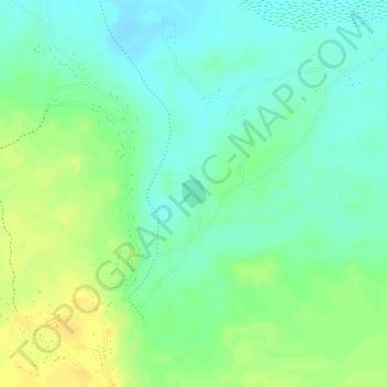
Lake Kashiba topographic map
Interactive map
Click on the map to display elevation.
About this map
Name: Lake Kashiba topographic map, elevation, terrain.
Location: Lake Kashiba, Copperbelt Province, Zambia (-13.44486 27.93916 -13.44277 27.94094)
Average elevation: 1,153 m
Minimum elevation: 1,141 m
Maximum elevation: 1,166 m
Other topographic maps
Click on a map to view its topography, its elevation and its terrain.
Section 25
Zambia > Copperbelt Province > Luanshya
Section 25, Luanshya, Copperbelt Province, Zambia
Average elevation: 1,229 m