
Galapa topographic map
Interactive map
Click on the map to display elevation.
About this map
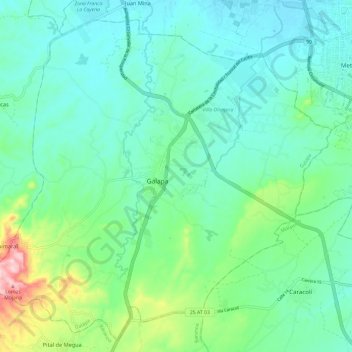
Name: Galapa topographic map, elevation, terrain.
Location: Galapa, Atlántico, Colombia (10.84347 -74.94629 10.95324 -74.82666)
Average elevation: 81 m
Minimum elevation: 26 m
Maximum elevation: 276 m
Other topographic maps
Click on a map to view its topography, its elevation and its terrain.