
Lake Tanganyika topographic map
Interactive map
Click on the map to display elevation.
About this map
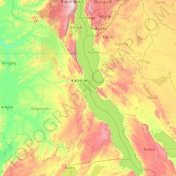
Name: Lake Tanganyika topographic map, elevation, terrain.
Location: Lake Tanganyika, Tanganyika, DR Congo (-8.81112 29.05797 -3.34678 31.20210)
Average elevation: 1,064 m
Minimum elevation: 483 m
Maximum elevation: 3,224 m