
Jay County topographic map
Interactive map
Click on the map to display elevation.
About this map
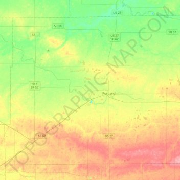
Name: Jay County topographic map, elevation, terrain.
Location: Jay County, Indiana, United States of America (40.30732 -85.22054 40.57220 -84.80247)
Average elevation: 283 m
Minimum elevation: 240 m
Maximum elevation: 338 m
Other topographic maps
Click on a map to view its topography, its elevation and its terrain.
Chandler
United States of America > Indiana > Chandler
Chandler, Pike County, Indiana, United States of America
Average elevation: 151 m