
City of Westminster topographic map
Interactive map
Click on the map to display elevation.
About this map
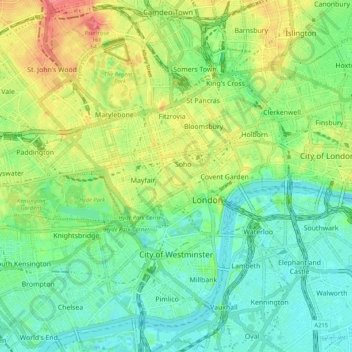
Name: City of Westminster topographic map, elevation, terrain.
Average elevation: 23 m
Minimum elevation: -1 m
Maximum elevation: 63 m
Die Bevölkerung setzte sich 2008 zusammen aus 70,6 % Weißen, 11,3 % Asiaten, 6,2 % Schwarzen und 3,3 % Chinesen. Der Anteil der Chinesen an der Gesamtbevölkerung ist in London nirgends höher als in Westminster.