
Bata topographic map
Interactive map
Click on the map to display elevation.
About this map
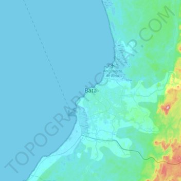
Name: Bata topographic map, elevation, terrain.
Location: Bata, Litoral Province, Equatorial Guinea (1.70509 9.60867 2.02509 9.92867)
Average elevation: 25 m
Minimum elevation: -1 m
Maximum elevation: 364 m