
Kromme Mijdrecht topographic map
Interactive map
Click on the map to display elevation.
About this map
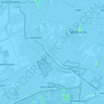
Name: Kromme Mijdrecht topographic map, elevation, terrain.
Average elevation: -3 m
Minimum elevation: -9 m
Maximum elevation: 4 m
Other topographic maps
Click on a map to view its topography, its elevation and its terrain.
Meije
Nederland > Zuid-Holland > Nieuwkoop
Meije, Nieuwkoop, Zuid-Holland, Nederland
Average elevation: -2 m
Nieuwkoop
Nederland > Zuid-Holland > Nieuwkoop
Nieuwkoop, Zuid-Holland, Nederland
Average elevation: -3 m
Aarkanaal
Nederland > Zuid-Holland > Nieuwkoop
Aarkanaal, Nieuwkoop, Zuid-Holland, Nederland, 2461, Nederland
Average elevation: -2 m