
Kilsheelan topographic map
Interactive map
Click on the map to display elevation.
About this map
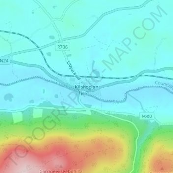
Name: Kilsheelan topographic map, elevation, terrain.
Location: Kilsheelan, County Tipperary, Munster, Ireland (52.34168 -7.59830 52.38168 -7.55830)
Average elevation: 77 m
Minimum elevation: 7 m
Maximum elevation: 342 m