
Adger topographic map
Interactive map
Click on the map to display elevation.
About this map
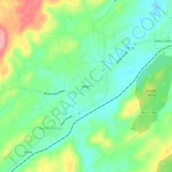
Name: Adger topographic map, elevation, terrain.
Location: Adger, Jefferson County, Alabama, United States (33.35706 -87.11361 33.39706 -87.07361)
Average elevation: 153 m
Minimum elevation: 112 m
Maximum elevation: 231 m