
Thank you for supporting this site ❤️
Make a donation
Make a donation
BUKIT INDAH topographic map
Click on the map to display elevation.
Thank you for supporting this site ❤️
Make a donation
Make a donation
About this map
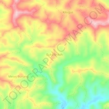
Name: BUKIT INDAH topographic map, elevation, terrain.
Location: BUKIT INDAH, Sabah, Malaysia (5.24562 116.25992 5.28562 116.29992)
Average elevation: 519 m
Minimum elevation: 397 m
Maximum elevation: 631 m
Thank you for supporting this site ❤️
Make a donation
Make a donation