
Yingkou City topographic map
Interactive map
Click on the map to display elevation.
About this map
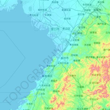
Name: Yingkou City topographic map, elevation, terrain.
Location: Yingkou City, Liaoning, 115000, China (39.91899 121.94410 40.93845 123.00130)
Average elevation: 96 m
Minimum elevation: -2 m
Maximum elevation: 1,106 m