
Girard topographic map
Interactive map
Click on the map to display elevation.
About this map
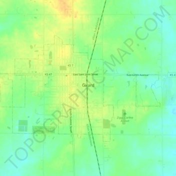
Name: Girard topographic map, elevation, terrain.
Location: Girard, Crawford County, Kansas, 66743, United States (37.49738 -94.86993 37.52345 -94.81584)
Average elevation: 298 m
Minimum elevation: 284 m
Maximum elevation: 313 m