Al-Ghadir Municipality topographic map
Interactive map
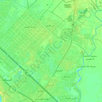
Click on the map to display elevation.
About this map
Name: Al-Ghadir Municipality topographic map, elevation, terrain.
Average elevation: 37 m
Minimum elevation: 29 m
Maximum elevation: 49 m

Click on the map to display elevation.
Name: Al-Ghadir Municipality topographic map, elevation, terrain.
Average elevation: 37 m
Minimum elevation: 29 m
Maximum elevation: 49 m