
Clement topographic map
Interactive map
Click on the map to display elevation.
About this map
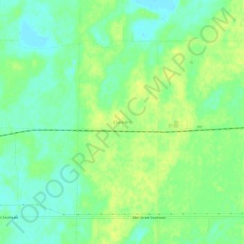
Name: Clement topographic map, elevation, terrain.
Location: Clement, Dickey County, North Dakota, United States (46.13441 -98.26427 46.17441 -98.22427)
Average elevation: 421 m
Minimum elevation: 411 m
Maximum elevation: 429 m