
Seira topographic map
Interactive map
Click on the map to display elevation.
About this map
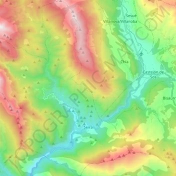
Name: Seira topographic map, elevation, terrain.
Location: Seira, La Ribagorza, Huesca, Aragon, Spain (42.44484 0.31823 42.56125 0.47036)
Average elevation: 1,421 m
Minimum elevation: 733 m
Maximum elevation: 2,535 m