
Lamdesar Barat topographic map
Interactive map
Click on the map to display elevation.
About this map
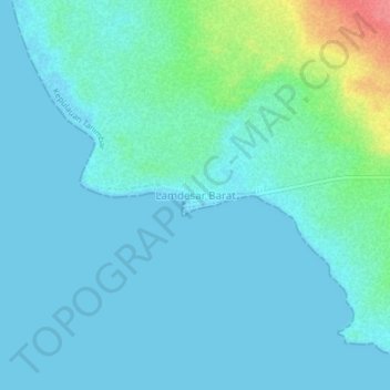
Name: Lamdesar Barat topographic map, elevation, terrain.
Location: Lamdesar Barat, Maluku, Indonesia (-7.25042 131.90088 -7.21042 131.94088)
Average elevation: 11 m
Minimum elevation: 0 m
Maximum elevation: 72 m