
Western District topographic map
Interactive map
Click on the map to display elevation.
About this map
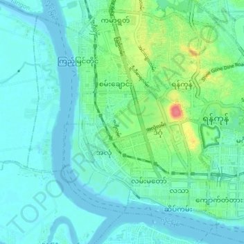
Name: Western District topographic map, elevation, terrain.
Location: Western District, Yangon, Myanmar (16.76199 96.10655 16.82931 96.17217)
Average elevation: 13 m
Minimum elevation: -2 m
Maximum elevation: 65 m
Other topographic maps
Click on a map to view its topography, its elevation and its terrain.