
Na Noi topographic map
Interactive map
Click on the map to display elevation.
About this map
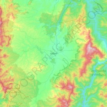
Name: Na Noi topographic map, elevation, terrain.
Location: Na Noi, Nan Province, 55150, Thailand (18.16539 100.55490 18.48539 100.87490)
Average elevation: 451 m
Minimum elevation: 151 m
Maximum elevation: 1,180 m