
แก่งกระจาน topographic map
Interactive map
Click on the map to display elevation.
About this map
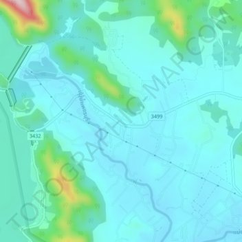
Name: แก่งกระจาน topographic map, elevation, terrain.
Location: แก่งกระจาน, จังหวัดเพชรบุรี, Thailand (12.88735 99.62716 12.92735 99.66716)
Average elevation: 95 m
Minimum elevation: 48 m
Maximum elevation: 372 m