
Velindre topographic map
Interactive map
Click on the map to display elevation.
About this map
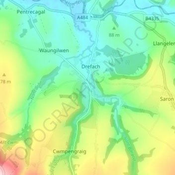
Name: Velindre topographic map, elevation, terrain.
Location: Velindre, Carmarthenshire, Wales, SA44 5XG, United Kingdom (51.99852 -4.42039 52.03852 -4.38039)
Average elevation: 114 m
Minimum elevation: 32 m
Maximum elevation: 288 m