
Cheaha Mountain topographic map
Interactive map
Click on the map to display elevation.
About this map
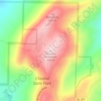
Name: Cheaha Mountain topographic map, elevation, terrain.
Location: Cheaha Mountain, Cleburne County, Alabama, USA (33.48557 -85.80883 33.48567 -85.80873)
Average elevation: 543 m
Minimum elevation: 332 m
Maximum elevation: 733 m
Other topographic maps
Click on a map to view its topography, its elevation and its terrain.