
Wraysbury topographic map
Interactive map
Click on the map to display elevation.
About this map
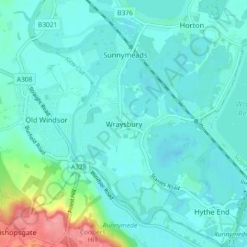
Name: Wraysbury topographic map, elevation, terrain.
Average elevation: 24 m
Minimum elevation: 10 m
Maximum elevation: 90 m
The new chapel, with its elegant slender tower, was opened on 16 October 1862; the building works had cost around £800. The striking terracotta relief panel, The City of Refuge, on the front elevation of the chapel, was created by the renowned Doulton & Co artist George Tinworth and is signed with his monogram.