
Salalah topographic map
Interactive map
Click on the map to display elevation.
About this map
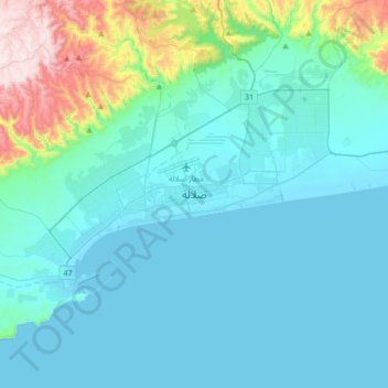
Name: Salalah topographic map, elevation, terrain.
Location: Salalah, Dhofar, 18149, Oman (16.85490 53.93570 17.17490 54.25570)
Average elevation: 140 m
Minimum elevation: -2 m
Maximum elevation: 985 m