
Thank you for supporting this site ❤️
Make a donation
Make a donation
Baker topographic map
Click on the map to display elevation.
Thank you for supporting this site ❤️
Make a donation
Make a donation
About this map
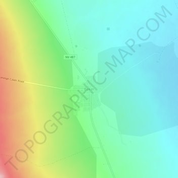
Name: Baker topographic map, elevation, terrain.
Location: Baker, White Pine County, Nevada, 89311, United States (38.99218 -114.14333 39.03218 -114.10333)
Average elevation: 1,632 m
Minimum elevation: 1,577 m
Maximum elevation: 1,755 m
Thank you for supporting this site ❤️
Make a donation
Make a donation