
Thank you for supporting this site ❤️
Make a donation
Make a donation
Sandfelli topographic map
Click on the map to display elevation.
Thank you for supporting this site ❤️
Make a donation
Make a donation
About this map
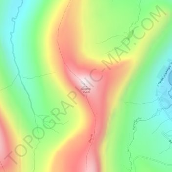
Name: Sandfelli topographic map, elevation, terrain.
Location: Sandfelli, Oyndarfjørður, Eysturoyar sýsla, 690, Færøerne (62.26218 -6.89297 62.26228 -6.89287)
Average elevation: 321 m
Minimum elevation: 0 m
Maximum elevation: 737 m
Thank you for supporting this site ❤️
Make a donation
Make a donation