
Thank you for supporting this site ❤️
Make a donation
Make a donation
Glyvrafjall topographic map
Click on the map to display elevation.
Thank you for supporting this site ❤️
Make a donation
Make a donation
About this map
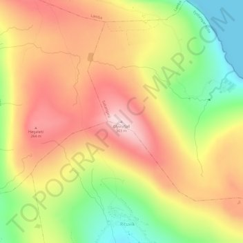
Name: Glyvrafjall topographic map, elevation, terrain.
Location: Glyvrafjall, Saltangará, Eysturoyar sýsla, 600, Færøerne (62.11873 -6.68565 62.11883 -6.68555)
Average elevation: 164 m
Minimum elevation: -3 m
Maximum elevation: 301 m
Thank you for supporting this site ❤️
Make a donation
Make a donation