
Khor Albaha topographic map
Interactive map
Click on the map to display elevation.
About this map
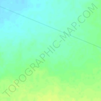
Name: Khor Albaha topographic map, elevation, terrain.
Location: Khor Albaha, Khartoum State, Sudan (16.16825 33.38075 16.16835 33.38085)
Average elevation: 460 m
Minimum elevation: 451 m
Maximum elevation: 469 m