
Thank you for supporting this site ❤️
Make a donation
Make a donation
Kampung Repek topographic map
Click on the map to display elevation.
Thank you for supporting this site ❤️
Make a donation
Make a donation
About this map
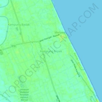
Name: Kampung Repek topographic map, elevation, terrain.
Location: Kampung Repek, Bachok, Kelantan, 16310, Malaysia (5.99389 102.39427 6.03389 102.43427)
Average elevation: 5 m
Minimum elevation: 0 m
Maximum elevation: 12 m
Thank you for supporting this site ❤️
Make a donation
Make a donation
Other topographic maps
Click on a map to view its topography, its elevation and its terrain.
Thank you for supporting this site ❤️
Make a donation
Make a donation
Thank you for supporting this site ❤️
Make a donation
Make a donation